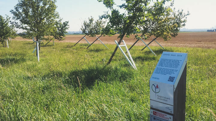
The planning, coordination and promotion of the regional park as a whole has been in the hands of Regionalpark Ballungsraum Rhein-Main GmbH since 2005. It ensures a comprehensive planning in the landscape framework and in the regional land use plan of the FrankfurtRheinMain regional association. As a sub-project, the RheinMain Regional Park Cycle Route will connect the municipalities involved with one another on a continuous stretch of path around the city of Frankfurt. As a clear distinguishing feature, the cycle route is given a distinguished appearance in terms of marking and equipment. The design strategy will be implemented in stages over several years.
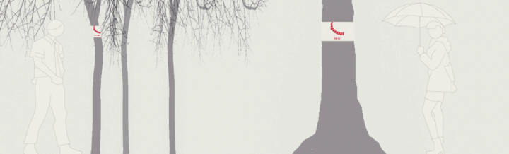
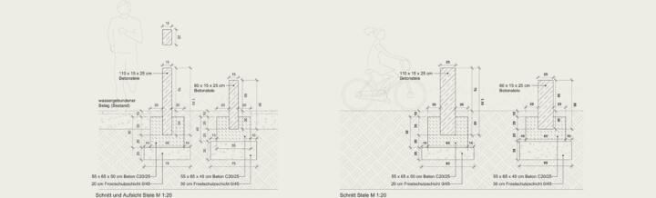
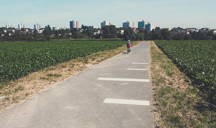
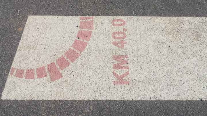
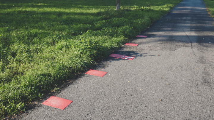
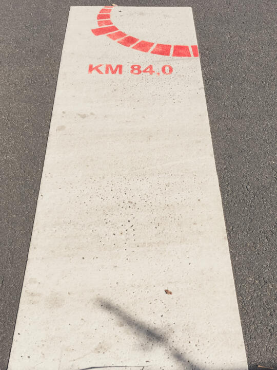
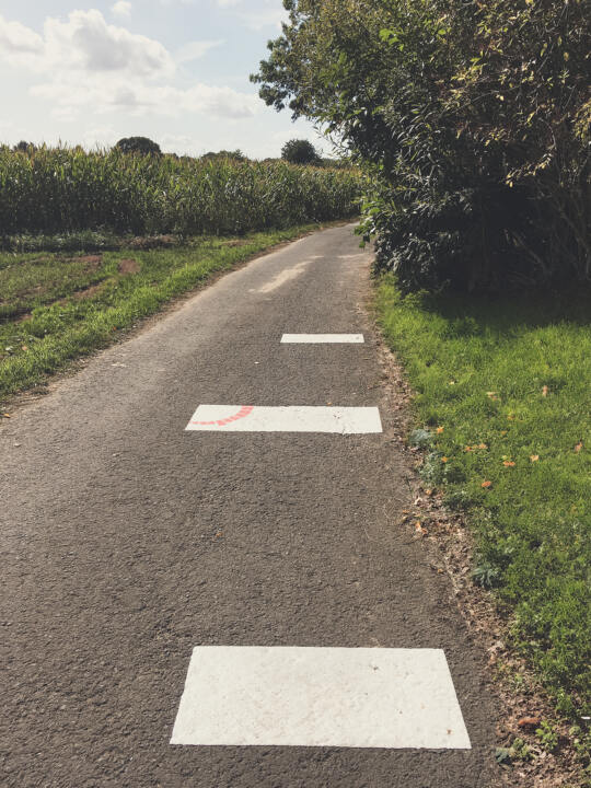
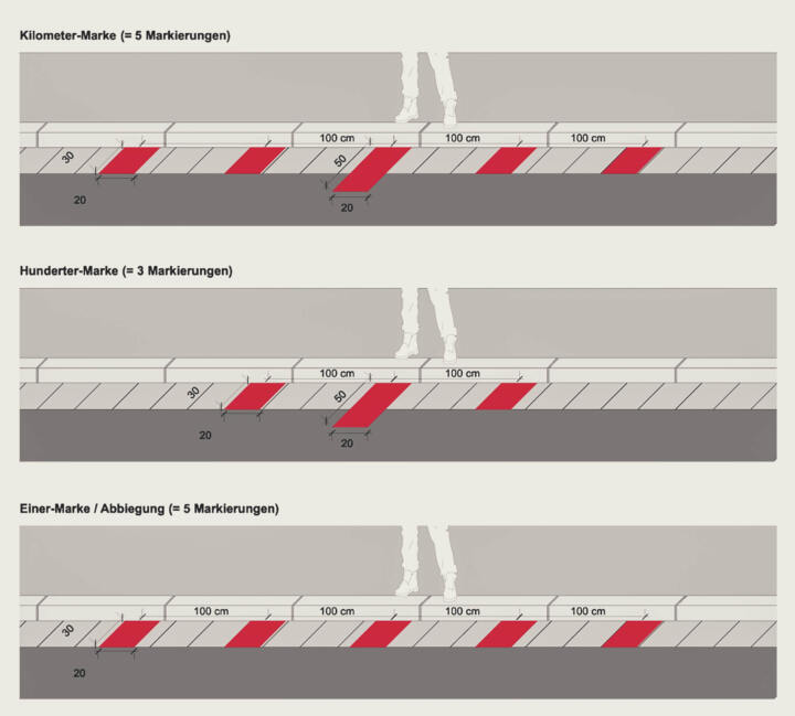
The circular route connects 35 municipalities across the landscape. It passes along agricultural areas and forests, through FFH areas and intact cultural landscapes, but also through towns and industrial areas, or runs parallel to other routes. A pattern that – wherever possible – is applied directly to the path will make it easy to distinguish the circular route from all other routes and paths in the future. The basis of the design of the circular route is the marking of every full kilometer on the 190 km long circular route of the RheinMain Regional Park. Each marking element bears its logo in red. As an orientation aid for the user, the marking elements are always applied to the side of the road, both inside and outside of town. Changes in direction are placed with a marker that follows the route.